Daniel W. Cory Surveyor, LLC is celebrating 51 years of operation this year (2018).
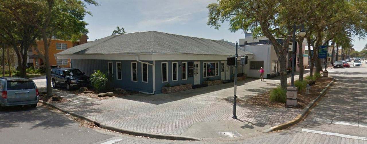
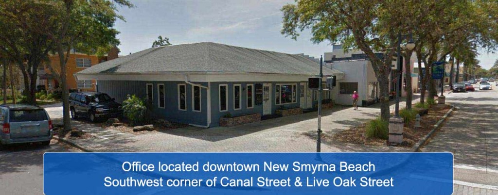
Daniel W. Cory Surveyor, Inc. was established in 1967 with its precursor firm (Claude E. Talley, Surveyor) dating back to 1955.The firm built their office building in downtown New Smyrna Beach (300 Canal Street), FL and has remained at this location since 1972.The firm was reorganized on December 10, 2010 with Jeffrey W. Cory, P.L.S. as president.
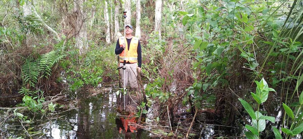
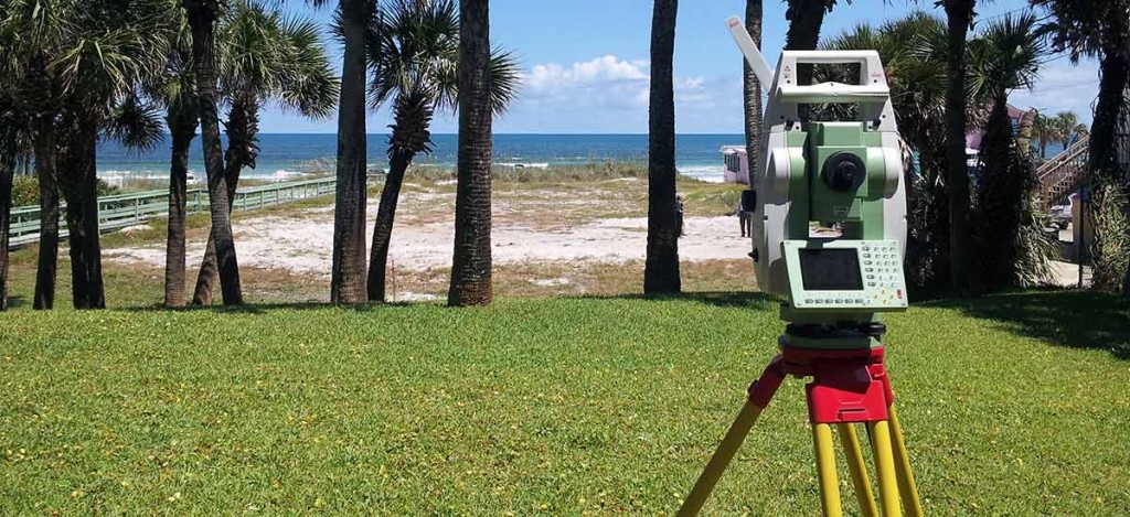
Daniel W. Cory Surveyor, LLC is a multidiscipline surveying and mapping firm, offering the following types of surveys: As-Built, Boundary, Condominium, Construction Layout, Control, Hydrographic, Mean High Water Line, Quantity, Record, Specific Purpose and Topographic. We are also adept in preparing Sketch of Descriptions for the purposes of easement description, Sovereign Submerged Land Lease, Public Easements, etc. We also prepare Elevation Certificates for flood insurance purposes and prepare LOMAs or LOMR-F (FEMA applications) for the purpose of removing a structure or parcel from a Special Hazard Area (SHA).
Daniel W. Cory Surveyor, LLC is currently qualified to provide Surveying and Mapping services for (1) the City of New Smyrna Beach, (2) the City of Edgewater, (3) the Volusia County School Board and (4) County of Volusia.
Daniel W. Cory Surveyor, LLC is currently accepting applications/resumes for the following positions: